
of road reservesidentify, clarify and protect |
executive summary
Road reserves should be clearly defined and jealously guarded from building construction, so that space is retained for future increases in capacity if and when needed. However, there are challenges in the administration of road reserves
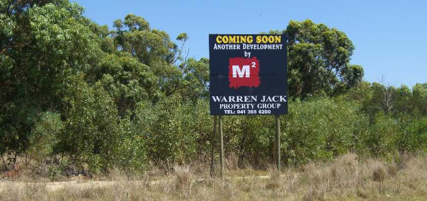
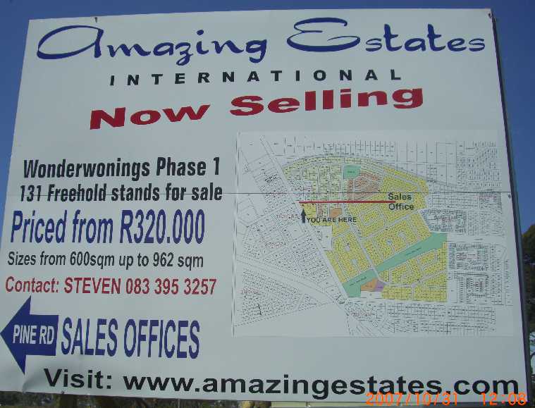
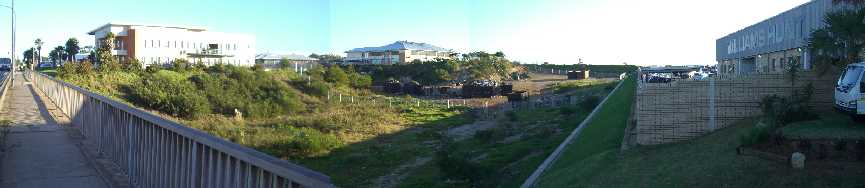
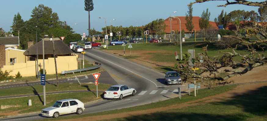
One of the challenges is that their existence and adequacy is not always clear. Established building lines and fence lines are probably where the road reserve boundaries lie, but the pattern is haphazard, and as congestion grows their adequacy should be questioned. Obviously so because who could long ago have planned road reserves to be adequate forever into the future, and what commitments to their reverence exists among those empowered to violate or enhance their purpose. In some cases road reserves have already been violated, as demonstrated by the cases of Moffat Park and Fig Tree below, and construction without consideration of impact on road space, as in the case of Wonderwonings, also below, is a further violation. Construction of cycle paths and the planting of trees close to the road locks existing boundaries, even if space for future widening had been available. Continued construction close to the road along major routes will make any future widening impossible. Everywhere the questions hang, what can be done to reduce the congestion, and is there enough space to build the roads of the future. We will look at the pattern of the past and try to project it into the future, but what ever views are taken, the question of future road space needs to be addressed urgently while there is still time, before the last remaining open spaces are also built up, without a broad bold plan for the future.
historyWhen we talk Road Reserves, we need a very long telescope. We are talking about space that was left for us 50 or a hundred years ago by persons long gone who had no means of seeing the requirements of us, their descendants, 50 or a hundred years into the future. Anyone who did have the vision would have been seen as a Jules Verne kind of dreamer and not taken seriously. Yet their decisions of how and where they built impact on us, severely, only today, now that we need to be looking critically at what they left us and what our road space needs are.
Worldwide in cities building construction has irreversibly closed up on road space. Each city has it's own pattern.
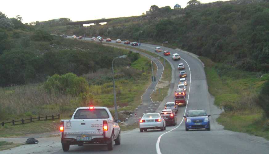
Outlying areas after the 40's and 50's were generally more spacious, and became more self drive related and featured adequate space for roads in many cases, although that was probably more by accident than design, because the forward vision of planners did not stretch to the today situation (see Villiers Road below). These new areas had more promise for congestion to be controlled, but even there road space and traffic flow has often been compromised, not been seen as needing to grow with building and population density, and through roads not being adequately provided (Lorraine).
the freeway storyThe freeway story is central to the matter of vehicle population growth, described here as the Four Acts of Freeways, as a Shakespeare or Churchill might have described them. Each act lasts 25 years and starts in 1950. Act One In the post World War 2 era there was a spread of limited access freeways which went hand in hand with the growth in car production. The prewar German Auto-bahns were of the first, and had a large influence on the American Interstate System, the founding of which is credited to Allied Commander, General later President Eisenhower who realised their value as they fed the victory armies in Europe. Their first intended purpose in the USA was to allow for an army to be moved over the vast continent if ever it became necessary, not a ridiculous concept in the late 40's early 50's, but the peace time value of freeways soon became clear and with wartime memories slipping into the past, the US became a nation on wheels, with other countries soon to follow. Mankind had found a new level of mobility, could exercise a new level of freedom, and as one important man in the car industry said "we are so successful because we deal in a basic human want, the freedom of movement".
Freeways across cities were built as arterial routes. Limited access meant fast getting around But then came Act Two. In the last quarter of the 20th century freeways, and other roads and streets, were receiving more and more traffic from growth in all aspects of increasingly affluent societies. Getting around was no longer so fast. Gradually freeways became snailways, and their for-ever image aquired a worrying question mark. And for the first time the realization set in that the massive underground fuel tank supplying the world is getting empty fast, and will not fill up again for another hundred million years or so We are now in Act Three, massive congestion, rising fuel costs, a scramble for alternates, and no clear signs of breakthroughs anywhere. The transportation domain is in a damage control phase. Along with using up our fuel reserves, we are now also strangling the atmosphere. And in the background, societies are interdependant with a car industry that needs to "grow to survive". If sales from last year are down a few points its a mini crisis, yet no-one says, "hey guys, you filled up the roads, you cant build more cars if you dont build more roads for them to drive on!". We look on almost helplessly at all this traffic and wonder where are the answers, where is the space is to enlarge the roads to handle this and the future growth Act Four lies in the future, it is full of mysteries and uncertainties, it is the domain of science fiction, bubble cars floating in space on magnetic fields, propulsion by yet to be discovered inter atomic effects, and the like, who knows what will unfold, we hope something like what microchips were to wires and cables will happen to nuts bolts and spanners. Meanwhile, until that happens, we have to practice old fashoined discipline to maximise the returns from what we have and minimise the wastage where ever we can.
property developers - saints or satan
But by the developer's position his first allegiance is to the investor which is often himself. At the interface between developer and local government there has been frequent controversy and power play, mostly on environmental and heritage issues, but seldom if ever over road capacity. Road space and road capacity, from established patterns and actions, must generally be seen as enough, by both developers, who dont really care, and authorities, who should care, and more building takes place around existing roads. We dont hear much about traffic environmental assessments and traffic volume forecasts, while building goes on and slow strangulation on the roads continues. At the same time we must be punch drunk on global warming and waning energy resources if we dont see the impact of the congestion we are creating on these two matters by burning unnecessary fuel.
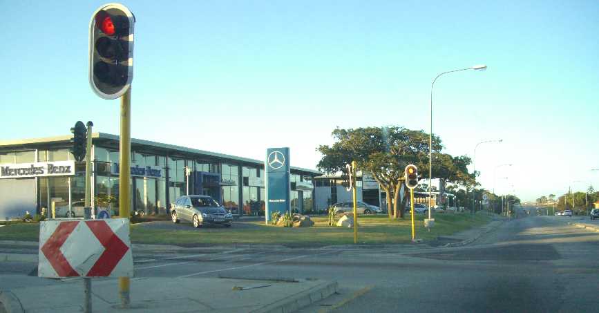
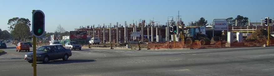
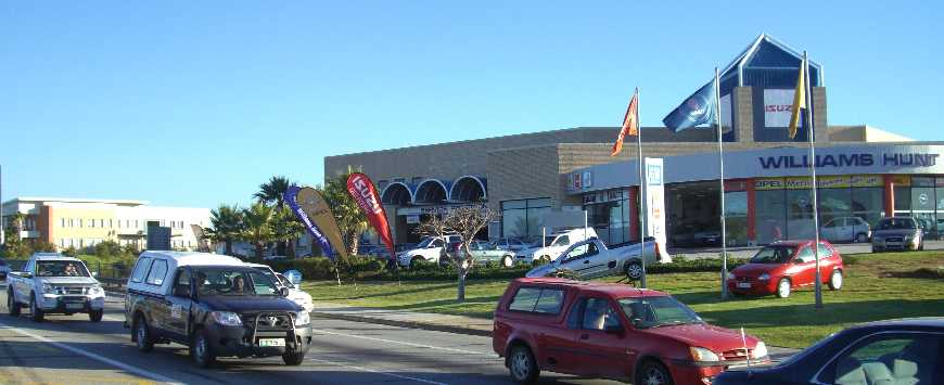
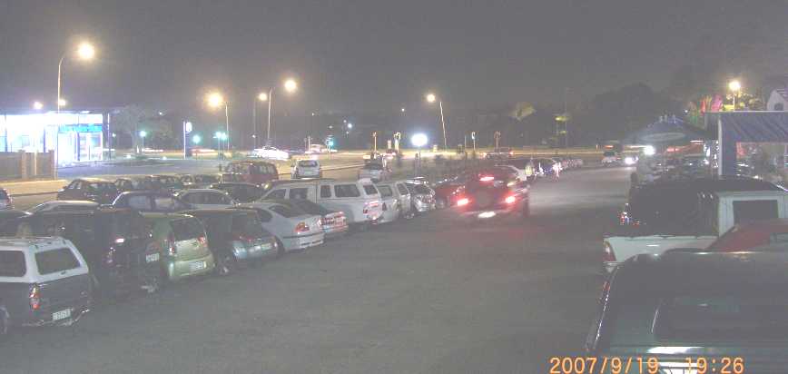
Take note that Fairview was never a densely settled area, not before nor after apartheids resettlement. It is likely that this very large area, bigger than Newton Park, that has been sitting there vacant with an uncertain future for decades, will be built up to the brim within the next decade. It is not hard to imagine the greater congestion this will produce, but what plan for the future is in place. One of the relevant elements in this is a tradition for business premises to face the road. It dates back to the "corner cafe", and "window shopping", before big shopping centers were created. Business owners still believe their premisises need to be seen by passing traffic, so buildings tend to crowd the road, which conflicts with the free flow status arterial routes should have. Demonstrated development patterns on roads that should have free flow for through traffic and limited access, regularly conflict with this principle. Buffelsfontein M9 and William Moffat M12 are examples where development continues to erode their arterial status. Fig Tree Center was built on a bit of open space that could have been better used to provide a free flowing interchange for the two major arterials M12 and M7 that cross there. There was no need to make Fig Tree Center a corner cafe in case people could not find it, it could just as well have been built on open ground somewhere nearby like around the Elliot center. People would still have found it, and what's more, they would have been thankful for more parking space, because Fig Tree also violates a parking to roof space ratio, by big feet having been shoe horned into a small area. A portion of M7 road reserve was violated to make more parking space available for Fig Tree, which is still not really adequate. Ever tried parking at Fig Tree without power steering?
A question mark hangs over local government, are they going to recognise and reverse this trend. We still have time, while there is open space, but better hurry before it is too late. This subject is a problem in all cities country wide and world wide. But are we going to continue to dig the grave still deeper, or try to get on top of the problem with a forward plan The hanging question here is how good a job are we going to do on this subject in the future in the light of rapidly growing evidence that the existing road capacity is under severe pressure As a small city in a small country we need to look what others have done. The prestigious US Dept of Transport and their Federal Highway Administration published a report (Publication No. FHWA-PL-02-013) on their latest studies and recommendations on right of way, as they call it, after a review of their own practices and those of four countries in Europe read more |
re port elizabeth
|
|
|
|
|
|
|
|
Lesson - recognize and protect road reserves, even if the ultimate use is not immediately clear |

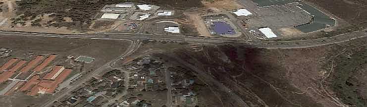
In this example the position of the road reserve lines around walmer Park are unclear, from outside observation, but may be clearer on NMMM plans. Whatever the case, in this crucial area where two major arterial routes cross it needs to be clearly defined because this interchange should be upgraded to free flow status. Click on pic for enlarged view |
 In the background of road planning are road reserves. The Americans call it Right of Way. Over the past fifty years massive growth in road traffic and building construction has lead to declining availability of road reserves and in many areas road reserves have become inadequate






Survey | SEO

sponsors |
| armcoil automation |
| slip technologies |
| street talk trading |
| impact advertising |
| sunpacerdesign |
|
sponsors contact us to advertise here |
|
to downoad maps and photos, this site best navigated with broad band |